By The Clemens Team
Summerlin sits against the western rim of the Las Vegas Valley, where neighborhood trail corridors meet broad desert views and quick access to Red Rock Canyon via Charleston Boulevard and the 215 Beltway. That setting gives residents a rare mix of paved community routes, foothill paths, and mountain bike terrain within a short drive of Downtown Summerlin, The Paseos, and Redpoint.
For anyone exploring Summerlin living, the trail network tells you as much about the lifestyle as the floor plan or the view line from the backyard.
Key Takeaways
- Access: Close links to Red Rock Canyon, the 215, and village trail corridors
- Variety: Paved paths, neighborhood connectors, desert hikes, and mountain bike loops
- Fit: Different trails match different routines, from sunrise walks to longer weekend rides
- Real Estate: Outdoor proximity shapes daily life in villages across Summerlin’s west side
Why Summerlin’s Trail Network Stands Out
Summerlin’s trail system works differently from a single-park setup because it layers neighborhood paths, regional connectors, and Red Rock access across the western valley.
What Makes the Network So Useful
- Village connections: Community trails link parks, residential streets, and major corridors across multiple Summerlin villages
- 215 access: The beltway helps connect west-side neighborhoods to trailheads and scenic desert routes
- Red Rock proximity: Trail outings can shift quickly from master-planned streetscapes to conservation land
That layered system matters in a place where people often want a morning routine close to home and bigger terrain on weekends.
The Best Hiking Routes Near Summerlin
The strongest hiking options near Summerlin combine fast access with distinct terrain, which is why Red Rock is such a major part of the west-side lifestyle conversation.
Hikes We Recommend First
- Calico Hills: A well-known Red Rock route with sandstone formations, strong valley views, and quick access from the scenic drive
- Pine Creek Canyon: A shorter trail with historic character, shade pockets, and a setting that feels surprisingly lush for the Mojave
- Calico Basin: A convenient option near the edge of Red Rock with striking rock walls and a shorter outing profile
Trail choice also changes with elevation, sun exposure, and how much time you want to spend on the route.
The Best Biking Options for Different Riding Styles
Biking around Summerlin works best when you separate paved neighborhood riding from desert mountain biking, because the experience changes fast once you leave the master-planned grid.
Where to Ride by Preference
- Summerlin community trails: Good for casual rides, everyday exercise, and connecting parks and villages without a long drive
- Cottonwood Valley Trail System: A go-to mountain biking area near Red Rock with multiple loop combinations and technical desert riding
- Red Rock scenic area roads: Strong for road cyclists who want elevation change, desert views, and a destination feel
That range makes Summerlin especially appealing for households where outdoor routines differ from person to person.
How to Choose the Right Trail by Neighborhood and Routine
Trail value in Summerlin becomes much clearer when you match routes to where daily life actually happens, including errands, work patterns, and how often you head west toward Red Rock.
Our Trail-Matching Checklist
- Near Red Rock access: West-side villages shorten the drive to Charleston Boulevard trail approaches and scenic-loop entry points
- Near Downtown Summerlin: Central locations support quick access to retail, dining, and paved exercise routes in the same outing
- Near quieter residential streets: Low-traffic internal roads can make short rides and evening walks feel more seamless
A home near The Paseos or Redpoint carries a different outdoor rhythm than one closer to the community’s eastern edges.
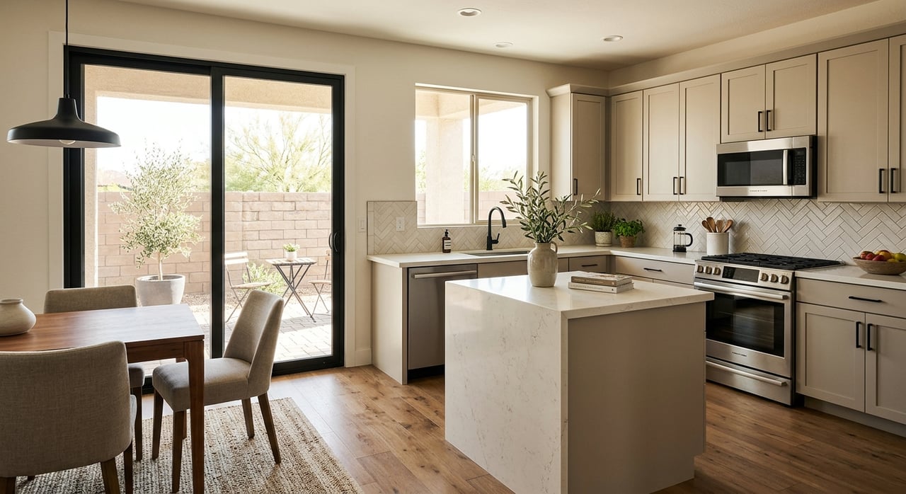
What to Look for in a Home if Trails Matter to You
Outdoor access in Summerlin is strongest when the property, the street pattern, and the nearby village amenities all line up with how you actually use the area.
Features That Add Trail-Oriented Value
- Direct path access: Homes near community trail entrances can make shorter walks and rides much easier to repeat
- West-side positioning: Villages closer to Red Rock often support faster access to trailheads and wider mountain views
- Lock-and-leave ease: Some homes are especially well-suited for active owners who want simple upkeep between outings
We always look beyond the headline view and focus on how the neighborhood functions between the front door and the nearest route.
FAQs
Which Summerlin area is best for quick access to hiking and biking?
We usually point people toward west-side villages with easier access to Charleston Boulevard, the 215, and the Red Rock edge of the community.
Are Summerlin trails only for serious hikers and cyclists?
The network includes paved community paths, shorter walking routes, and more demanding desert terrain, so the experience can be tailored to many different routines.
Does trail access really affect real estate value in Summerlin?
It often shapes desirability at the neighborhood level because daily outdoor convenience carries real weight in this market. We see trail adjacency, Red Rock access, and west-facing location come up frequently when comparing homes.
Contact The Clemens Team Today
Summerlin’s outdoor lifestyle is tied to real places, from the paved village paths near Downtown Summerlin to the red sandstone trailheads beyond Charleston and the scenic western edge near Redpoint and The Paseos.
Reach out to us at The Clemens Team, and we’ll help you compare neighborhoods through the lens of trail access, village character, view corridors, and how each part of Summerlin connects to the west-side desert.